Coastal Property Docs creates detailed visual and spatial property records for Richmond Hill's residential, commercial, construction, restoration, multifamily, and investment properties. From established neighborhoods and waterfront-area homes to new construction and growing commercial projects, we help preserve a clearer record of the property.
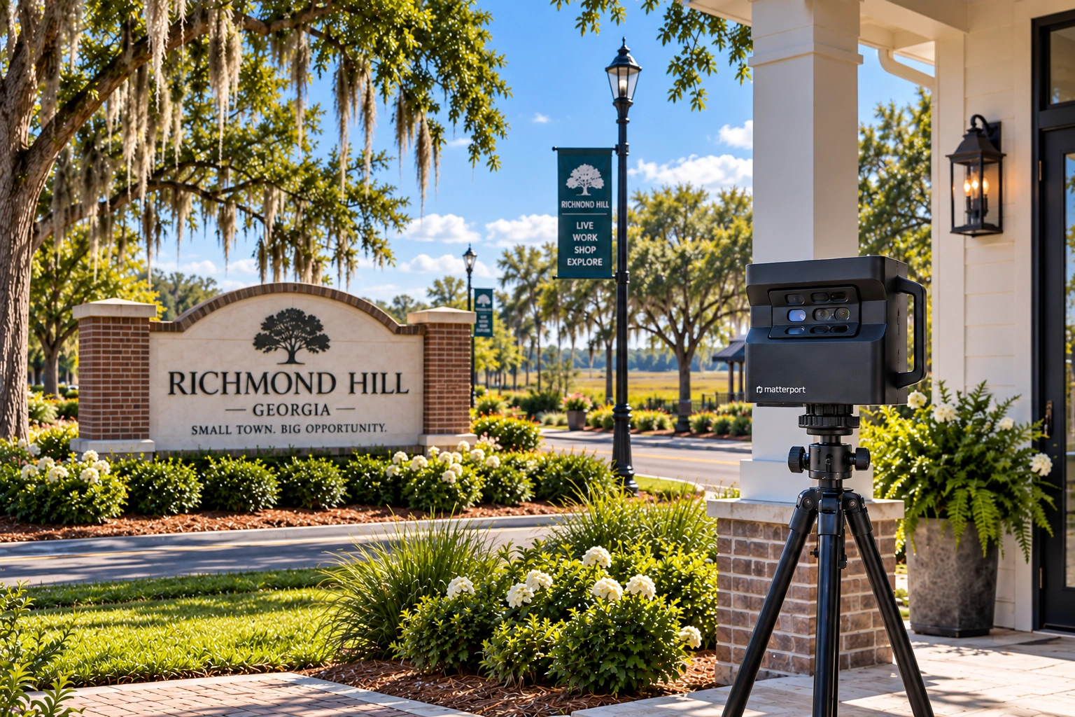

Richmond Hill combines established neighborhoods, coastal-influenced properties, new residential development, commercial growth, and ongoing construction throughout Bryan County.
Whether you're preserving a home before hurricane season, documenting a renovation, managing a commercial property, recording new construction, or maintaining multiple locations, a digital property record helps preserve the property as it exists at the time of capture.
From proactive property records to construction and restoration documentation, Coastal Property Docs supports a wide range of Richmond Hill projects.
Create an immersive digital twin that preserves property layout, appearance, and spatial context.
Document the property before renovation, demolition, expansion, or other major changes.
Preserve visual property conditions before a hurricane, storm, fire, water loss, or other casualty event.
Capture existing conditions, project milestones, pre-drywall systems, and completed work.
Preserve water, fire, smoke, storm, and other loss-site conditions before mitigation changes them.
Establish standardized records across multiple properties, units, communities, or locations.
Move through this interactive Matterport model to see how a digital twin preserves property layout, appearance, and spatial relationships in one connected environment.
Navigate rooms, view physical features, understand the relationship between spaces, and see how a digital property record can support owners, contractors, property managers, and other authorized stakeholders.
Richmond Hill's growth, coastal environment, and mix of established and new properties create documentation needs that range from pre-loss preparedness to construction, restoration, and property management.
Documentation for homes, communities, renovations, and new construction.
Pre-loss property records for storm, hurricane, and water-loss preparedness.
Capture existing conditions, progress, concealed systems, and completed work.
Supporting Richmond Hill and surrounding South Bryan County properties.
Documentation can be tailored around the building, project phase, and intended use.
Document existing conditions, renovations, improvements, and pre-loss property records.
Preserve detailed visual records of layouts, finishes, exterior conditions, and visible contents.
Capture project milestones, pre-drywall systems, concealed conditions, and completed work.
Document offices, retail, hospitality, mixed-use, and other commercial spaces.
Preserve water, fire, smoke, storm, and other loss-site conditions before they change.
Establish repeatable documentation across multiple properties, units, or managed locations.
Choose the documentation service that best matches your Richmond Hill property or project.
Interactive digital twins, property imagery, floor plans, and spatial documentation.
Explore Service → ServicePreserve loss-site conditions before mitigation and reconstruction change them.
Explore Service → ServiceExisting conditions, progress capture, pre-drywall documentation, and closeout records.
Explore Service → ServicePreserve property condition and visible contents before a future casualty event.
Explore Service → ServiceCreate an existing-condition record before demolition and renovation begin.
Explore Service → ServiceStandardized property documentation across multiple locations, buildings, or units.
Explore Service →Common questions about documenting properties in Richmond Hill and Bryan County.
Coastal Property Docs can support residential, commercial, construction, restoration, investment, multifamily, and other safely accessible properties depending on project scope.
Yes. Coastal Property Docs supports projects throughout Bryan County, Savannah, Pooler, and surrounding Coastal Georgia areas.
Yes. Pre-loss documentation can preserve a visual and spatial record of a property before a future storm or other casualty event.
Yes. Construction documentation can include existing conditions, progress milestones, pre-drywall capture, concealed systems, and completed work.
Yes, provided the property is safe and accessible. Loss-site documentation can preserve conditions before mitigation or repair changes the property.
Digital property records can support authorized remote review and sharing depending on the project.
Floor plans and spatial information can be included depending on the property, project scope, and selected deliverables.
No. Coastal Property Docs provides visual and spatial property documentation. Our services do not replace architectural, engineering, surveying, home inspection, code inspection, appraisal, or other licensed professional services.
Tell us about the property, project, and documentation you need. We'll help define the right capture and deliverables for your home, commercial property, construction site, loss property, or portfolio.