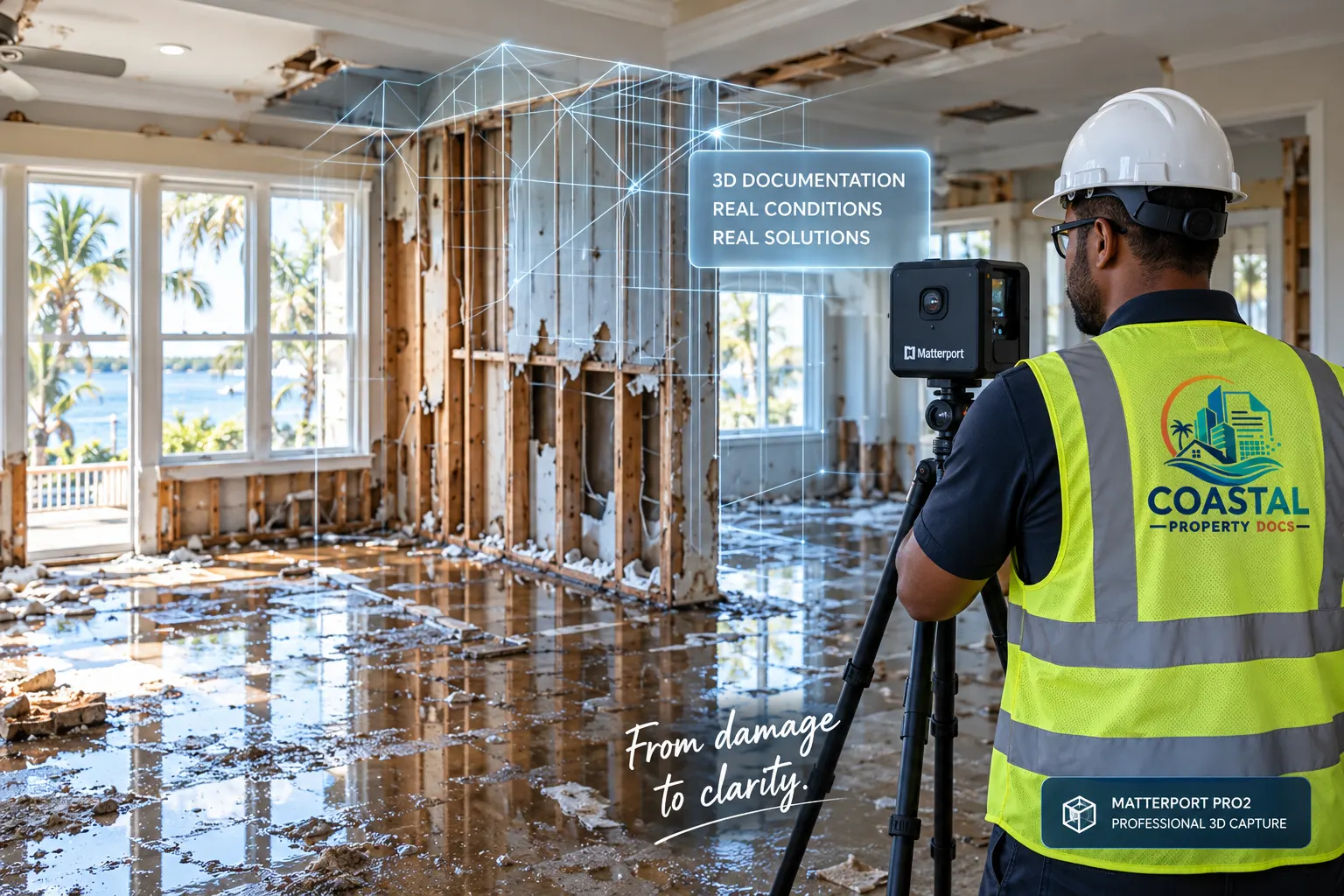
Coastal Property Docs gives restoration professionals, insurance teams, and property owners a shared visual record of loss conditions, mitigation progress, repairs, and completed work — helping reduce uncertainty and keep projects moving.
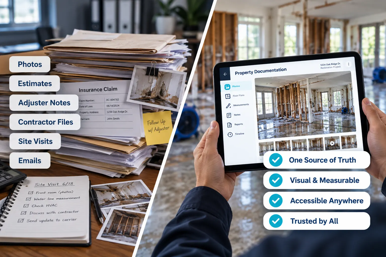
After a property loss, critical information is often scattered across photographs, estimates, adjuster reports, contractor notes, emails, and repeated site visits. Restoration contractors, insurance professionals, owners, and property managers may each be working from a different version of what happened and what currently exists.
A connected digital property record gives everyone a clearer point of reference — helping reduce confusion, improve communication, and create a more consistent record throughout the restoration process.
Capture key milestones with one connected visual record from the initial loss through reconstruction and closeout.
Preserve initial property and damage conditions before they begin changing.
Document drying, stabilization, extraction, and other mitigation activity.
Preserve a record of removed materials, exposed conditions, and affected assemblies.
Track significant rebuild milestones and document changing site conditions.
Create a completed visual record for project closeout and future reference.
From initial loss through final closeout, Coastal Property Docs helps the people involved in restoration and insurance work from clearer visual information.

Document damage, maintain project records, support estimates, and keep restoration teams moving.

Review clear visual records that can support faster remote review and more informed claim decisions.
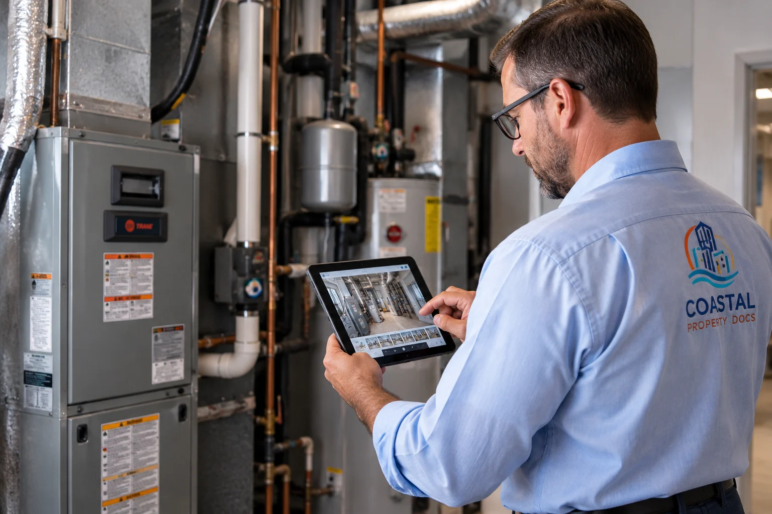
Maintain a visual record of property damage, restoration activity, and completed repairs.
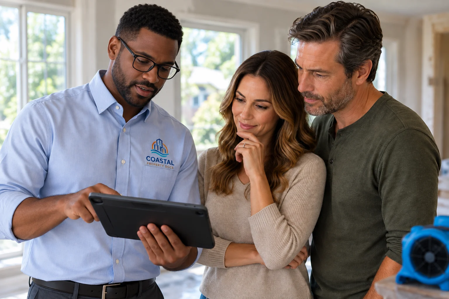
Track loss conditions and restoration work across individual properties or larger portfolios.
Capture visible water-loss conditions, affected areas, and restoration changes.
Preserve detailed visual records of fire, smoke, and structural loss conditions.
Document wind, hail, storm-related, exterior, and interior conditions.
Establish a visual baseline before a future property loss or major event.
Preserve a digital record of the property as it currently exists.
Add spatial documentation to support restoration scopes and reconstruction.
Walk through a digital property record and see how Matterport-based documentation can preserve visible conditions, spatial relationships, and site context in a format that can be reviewed remotely by authorized stakeholders.
Documentation needs can extend beyond a single loss. Coastal Property Docs can support repeat assignments, commercial properties, multifamily communities, property portfolios, and broader restoration programs requiring consistent visual documentation across multiple sites.
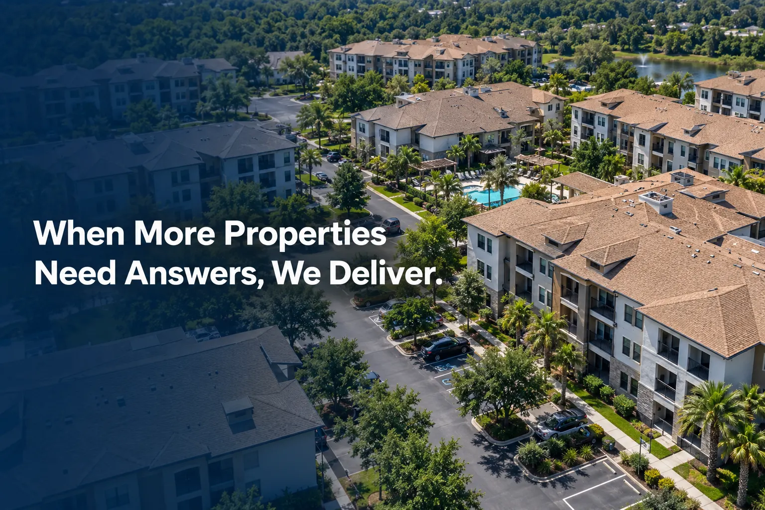
Documentation can be tailored to the loss, property, project stage, and stakeholders involved.
Timing depends on site safety and the project, but documentation is generally most useful when important conditions can be captured before demolition, mitigation, repair, or other work changes them.
Yes. A project can be documented at multiple stages, including initial conditions, mitigation, tear-out, reconstruction, and final completion.
Digital property records can support remote review and sharing with authorized stakeholders depending on the project and selected service.
Yes. Documentation can be scoped for residential, multifamily, commercial, hospitality, industrial, institutional, and other safely accessible properties.
No. Coastal Property Docs provides visual and spatial property documentation. We do not determine insurance coverage, claim value, causation, engineering conclusions, or settlement amounts.
No. Our documentation is designed to support the professionals involved in a restoration or insurance matter. It does not replace licensed inspections, adjustment, engineering, contracting, estimating, or other professional services.
Tell us about your restoration operation, active loss, property portfolio, or documentation needs. We'll help determine the right capture strategy.