Coastal Property Docs creates a visual and spatial record of water-damaged properties before extraction, drying, demolition, and reconstruction materially alter the site.
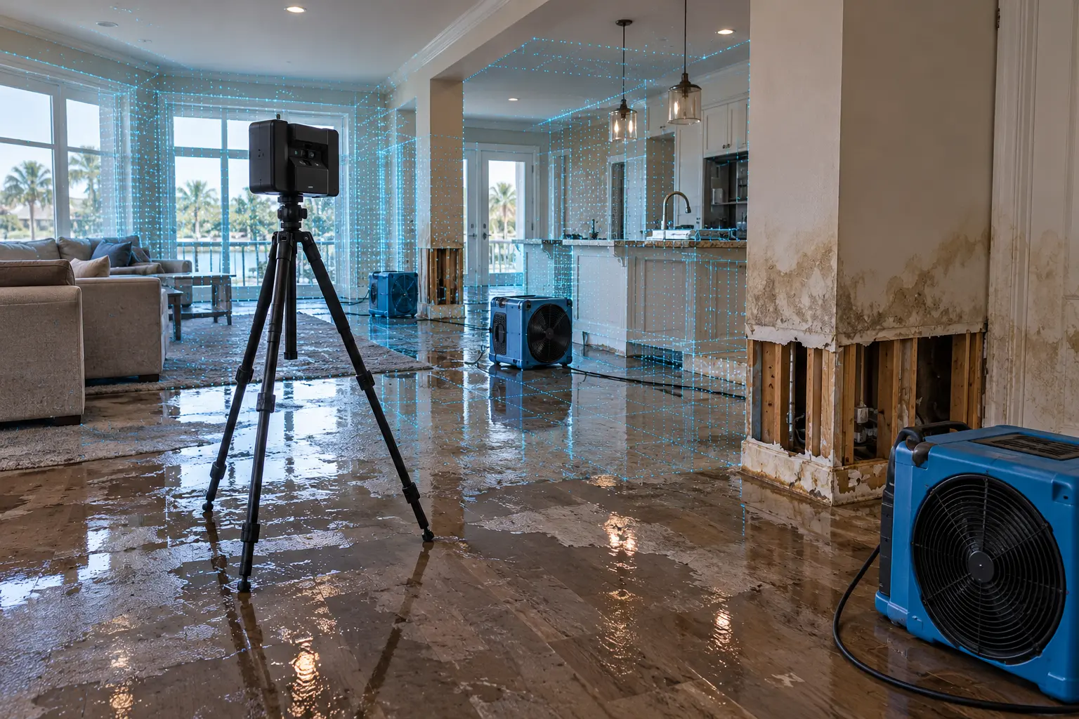
Standing water is removed. Drying equipment is installed. Baseboards come off. Flooring is pulled. Drywall is cut. Contents are moved. Reconstruction begins.
Each step is necessary, but each step also changes the condition of the property from what existed immediately after the loss.
Capturing the site early creates a visual reference to those conditions before they disappear.
A digital property record preserves the spatial relationship between affected rooms, materials, contents, and adjacent areas at the time of capture.
The scope can be tailored to the property, loss, and stage of mitigation.
Document the overall condition and relationship of rooms impacted by the water loss.
Preserve visible staining, wet areas, damaged finishes, and other observable loss conditions.
Capture flooring transitions, baseboards, drywall, wall finishes, and affected lower-wall conditions.
Document visible ceiling, trim, cabinetry, and finish conditions where included in scope.
Preserve visual context around visible furnishings and contents located in affected areas.
Capture nearby spaces to preserve context around affected and non-affected areas.
Capture can happen at one stage or multiple points depending on the project.
Preserve visible loss conditions before substantial extraction, demolition, or material removal.
Document opened walls, removed finishes, exposed assemblies, and changing site conditions.
Maintain a digital reference to the property after damaged materials are removed and reconstruction begins.
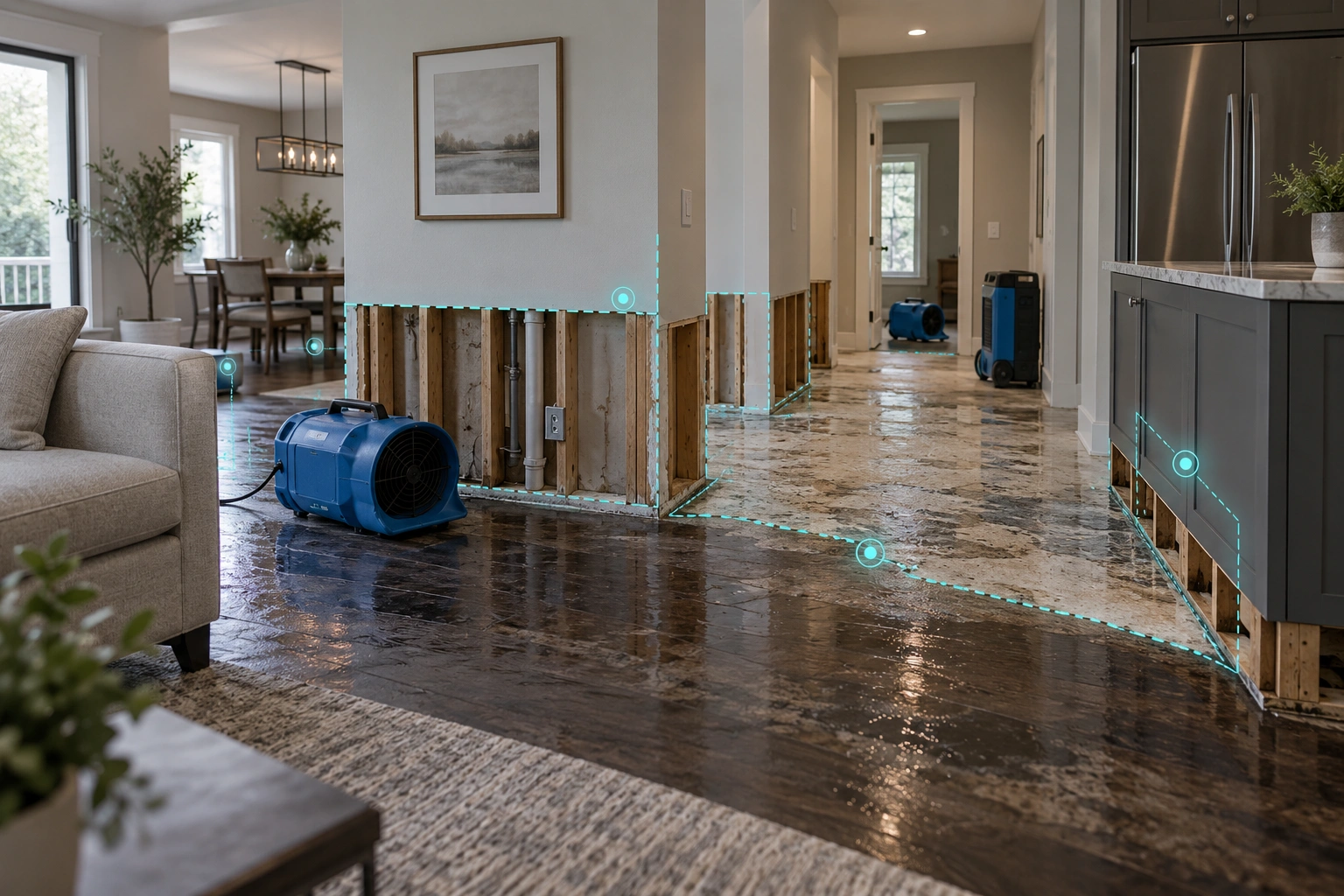
Once flooring, drywall, trim, cabinets, or other materials are removed, the original condition cannot simply be recreated on site.
A connected digital capture preserves the relationship between rooms and affected areas so the property can still be reviewed after those physical changes occur.
The value is not simply having more images. It is preserving a connected visual reference to a rapidly changing property.
Return to the property virtually without scheduling another physical walkthrough.
Understand how rooms, affected areas, and property features connect.
Give authorized contractors, owners, adjusters, and project stakeholders a shared visual reference.
Answer many later property questions by revisiting the digital record.
Use the captured site as an additional visual reference during project planning and reconstruction.
Preserve a visual reference after mitigation materially changes the property.
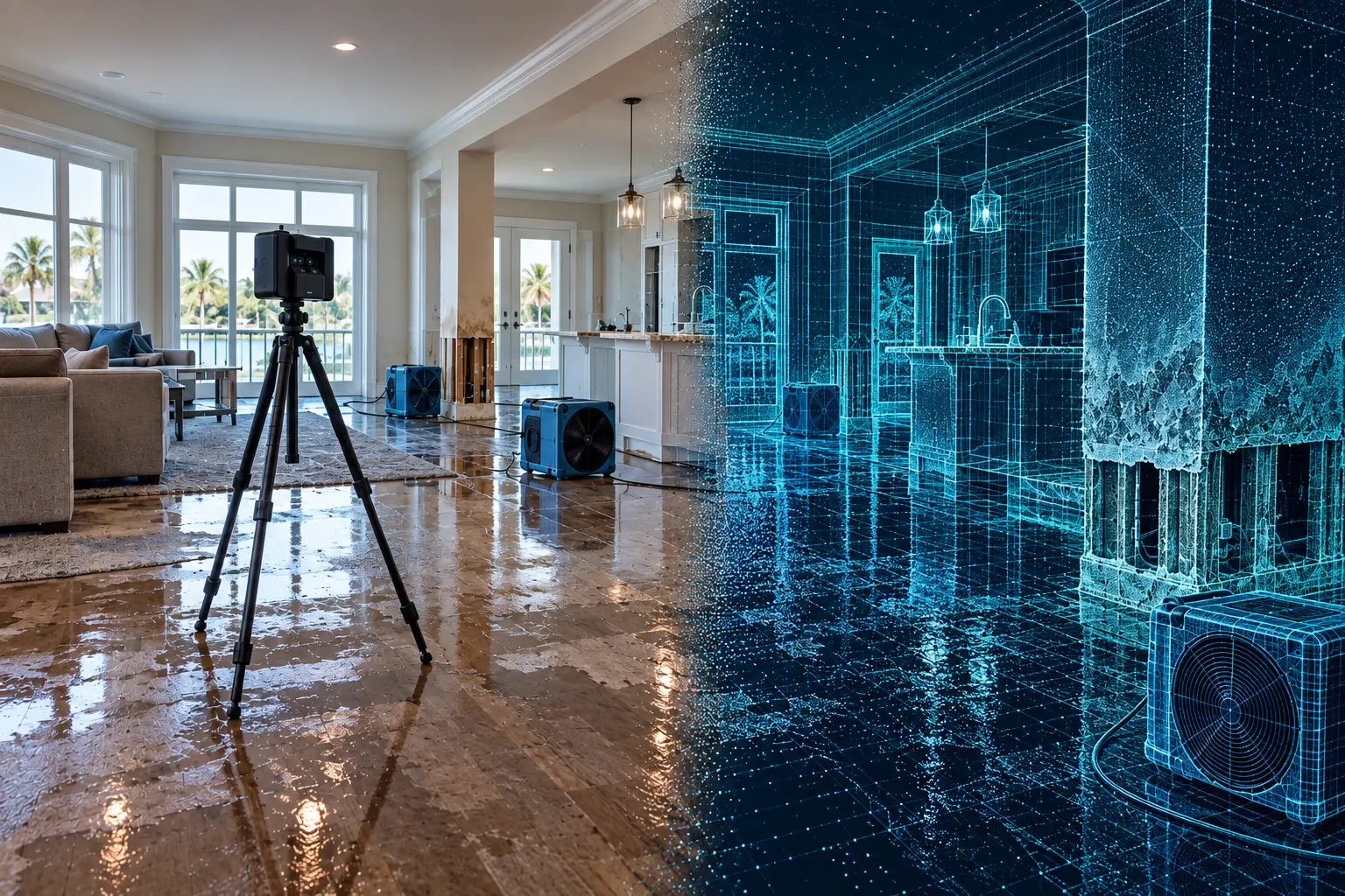
Move through the model and see how a digital twin preserves room-to-room spatial context in a way traditional photographs alone cannot.
Water mitigation often requires removing the very materials that show where the loss occurred and how the property was configured before work began.
A detailed visual record can preserve the relationship between damaged flooring, lower-wall conditions, cabinetry, adjacent finishes, exposed framing, and the broader room layout.
The exact package can be tailored around the property, stage of loss, and intended use.
Navigate the documented loss site remotely.
Supporting still imagery of documented conditions.
Property layouts when appropriate to scope.
Spatial information for appropriate workflows.
Additional documentation after mitigation or reconstruction.
A digital loss-site record can support multiple stakeholders throughout mitigation and reconstruction.
Preserve pre-mitigation and changing site conditions.
Maintain a connected visual reference as wet materials are removed.
Preserve a clearer visual record of affected property areas.
Document water losses across residential and commercial properties.
Review documented property conditions remotely when access is provided.
Revisit the captured property after tear-out has changed the site.
Water-damage projects often move quickly. If the property is actively being dried, demolished, or prepared for mitigation, identify the project as urgent so we can review the timing and determine whether capture can be coordinated before additional conditions disappear.
On the Get a Quote form, choose Emergency / ASAP when asked when you need the documentation.
We keep the process straightforward so documentation can fit into an active loss-site workflow.
Share the property, water-loss status, affected areas, and current mitigation timeline.
We review site conditions, accessibility, and when capture can occur.
We systematically document the included affected and adjacent areas.
You receive the digital twin and supporting deliverables included in scope.
Common questions about documenting active water-loss properties.
In many cases, yes. The property must be safe and accessible. Equipment placement and site conditions can be reviewed before capture.
When practical, the most useful timing is before significant demolition or material removal changes the original visible conditions.
Yes. Even if some tear-out has occurred, documenting the current condition can still preserve valuable spatial and visual context.
Yes. Follow-up captures can document mitigation progress, exposed conditions, reconstruction, or completed work.
Digital twins can support authorized sharing and remote review. Access arrangements can be discussed based on the project.
Not necessarily. Digital documentation can complement traditional photos and other project records by preserving spatial context.
Yes. Water damage documentation can be used for residential, multifamily, commercial, hospitality, and other property types.
Tell us about the property, affected areas, and current mitigation timeline. If the loss is active, mark the request as urgent so we can evaluate timing quickly.