Services Industries How It Works Portfolio About Contact Get a Quote Schedule a Consultation
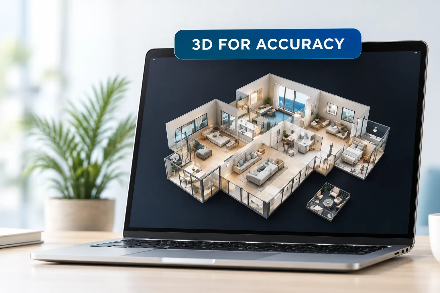
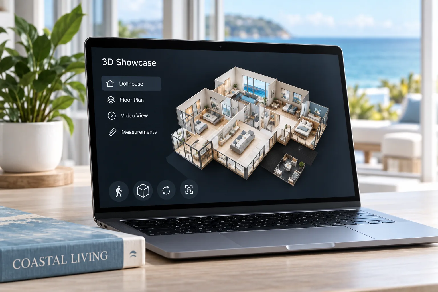
Matterport style 3D property model displayed on a laptop
Real Spaces. Real Data. A Brighter Tomorrow.

Matterport vs.
Traditional
Photography

Two ways to show a property.
A smarter way to protect, plan, and market it.

Matterport-style 3D documentation and traditional photography each serve different purposes. Understanding the difference helps you choose the right tool — or the right combination — for documentation, planning, restoration, insurance, and marketing.

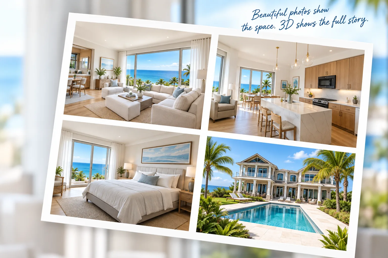
Traditional professional real estate photography collage
📷

Document
with Confidence

Plan for
What's Next

Share with
Anyone, Anywhere

Increase
Property Value

Built for
Coastal Living

More Than Photos
A Complete Record

AT A GLANCE

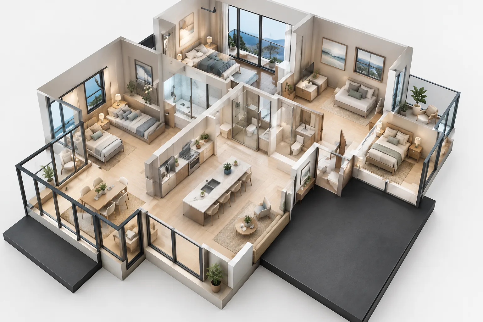
Matterport 3D Digital Twin

Three dimensional digital property model
Interactive virtual walkthrough
Spatial and measurement tools
Complete spatial context
Useful for documentation and planning
Share remotely
📷

Traditional Photography

Professional coastal property photography
High-quality still photographs
Strong visual presentation
Fast and cost-effective
Excellent for marketing
Selected viewpoints

SIDE-BY-SIDE COMPARISON

Feature Matterport 3D Digital Twin Traditional Photography
Immersion Interactive walkthrough experience Static individual viewpoints
Measurements Spatial and measurement tools available Not inherent to standard photography
Navigation Move virtually through the documented space View images individually
Detail Capture Broad spatial context across the captured property Focused views selected by the photographer
Remote Sharing Share an interactive model remotely Share photographs or galleries
Planning Value Useful for remote review and spatial reference Useful as a visual reference
Documentation Detailed visual and spatial property record Selected visual documentation
Capture Process More extensive capture, richer spatial record Typically faster and simpler

WHEN MATTERPORT WINS

When context, documentation, and remote access matter.

Immersive Experience

Virtually move through the captured property from anywhere.

📏

Spatial Reference

Reference spatial information and available measurement tools.

Complete Context

Understand how documented rooms and spaces relate to one another.

Insurance & Restoration

Create an organized visual record useful throughout a project.

WHEN TRADITIONAL PHOTOGRAPHY STILL HELPS

Still photographs remain useful for many property needs.

📷

Marketing Materials

Strong for websites, brochures, listings, and social media.

$

Cost-Effective

A practical option when only selected property views are needed.

Quick Turnaround

Individual photographs can often be captured and delivered quickly.

Highlight Key Features

Showcase selected rooms, details, finishes, and architectural features.

BETTER TOGETHER

The most complete result often comes from using both.

Combine interactive 3D property documentation with professional photography to create a more flexible property record — useful for documentation, remote collaboration, restoration, planning, marketing, and communication.

Use 3D for documentation, spatial context, planning, and remote access.
Use photography for marketing, presentations, and selected property details.
Give property owners, project teams, and stakeholders the information they need.
Get a Quote →
3D FOR CONTEXT
Digital twin displayed on laptop
+
PHOTOS FOR IMPACT
Professional property photography collage

REAL-WORLD USE CASES

From loss documentation to marketing, each format has a role.

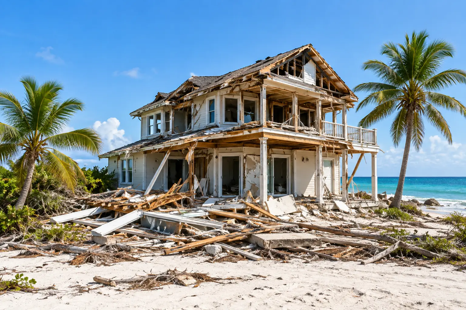
Storm damaged coastal house

Insurance Documentation

Support property-loss records with organized visual documentation.
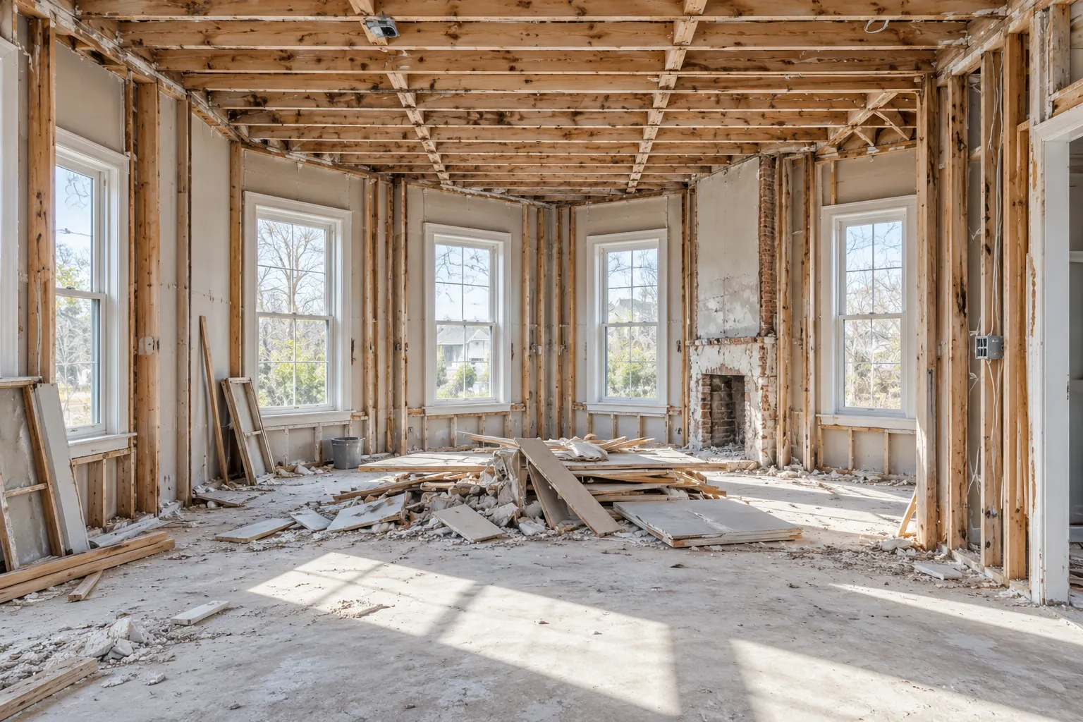
Interior renovation and reconstruction project

Restoration & Renovation

Document conditions and support planning as projects progress.

Luxury coastal home

Real Estate Marketing

Pair immersive experiences with strong property visuals.

Coastal condominium buildings

Property Management

Maintain visual records across buildings and portfolios.
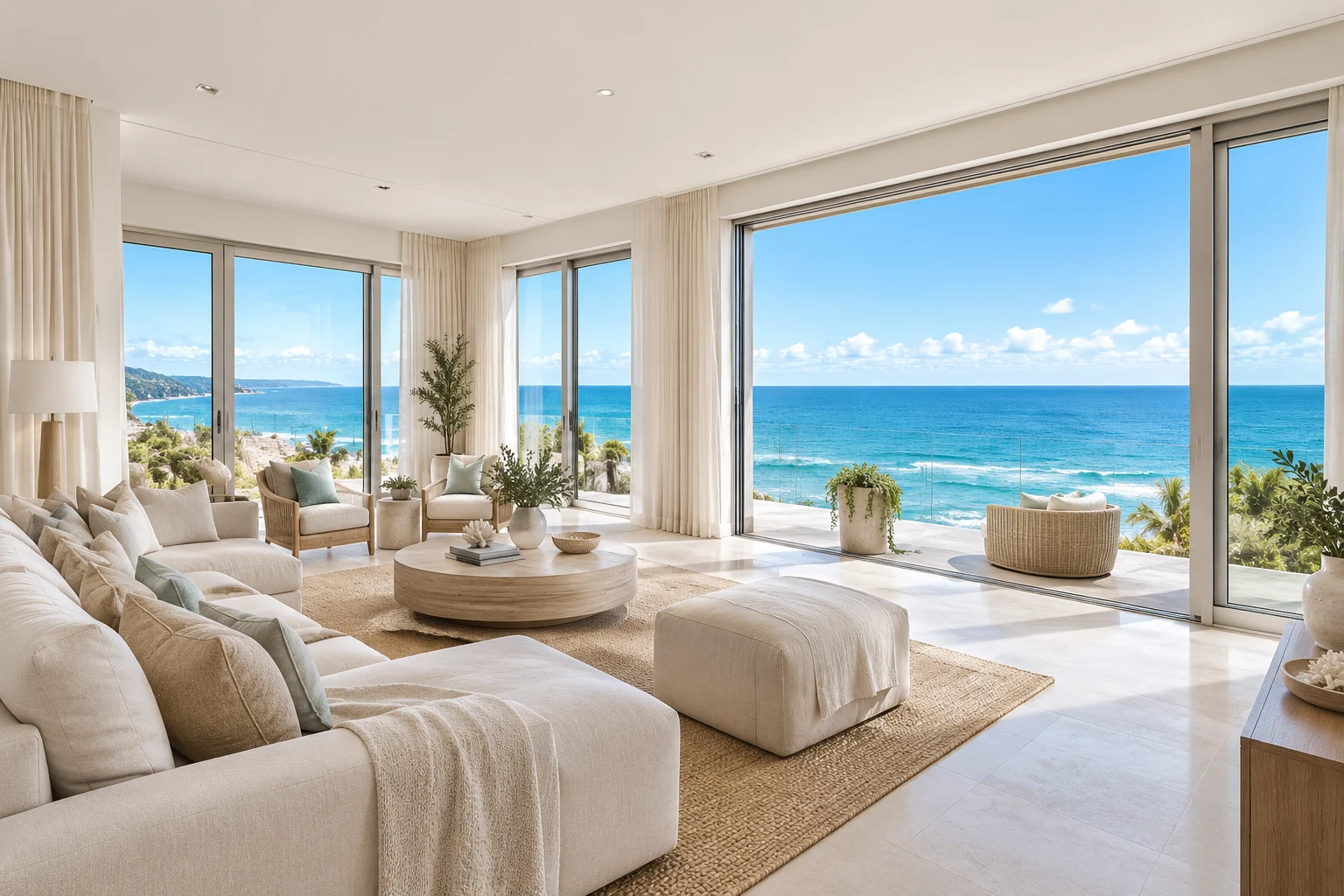
Coastal vacation rental interior

Vacation Rentals

Help guests understand spaces while preserving property records.

Architectural coastal interior

Architecture & Design

Support planning, design review, spatial reference, and collaboration.

FREQUENTLY ASKED QUESTIONS

View All FAQs →
What is a Matterport 3D digital twin?
It is an interactive digital representation of a physical property created from a series of captured viewpoints. Users can virtually move through the documented space, revisit rooms, and reference spatial and visual information.
How long does a scan take?
Capture time depends on the size and complexity of the property, accessibility, occupied conditions, and the deliverables requested. Smaller properties may be captured relatively quickly, while larger commercial or multifamily properties require more time.
How accurate are the measurements?
Measurement capabilities depend on the capture equipment, scanning method, property conditions, and specific deliverable. Digital-twin measurements can be highly useful for planning and reference, but requirements that demand certified or survey-grade measurements should use the appropriate licensed professional.
Do you recommend using both 3D and photography?
Often, yes. Three-dimensional documentation provides spatial context and remote access, while professional still photography is especially useful for selected views, presentations, and marketing. Using both can provide a more complete visual package.
Let's Capture What Matters

Get a Quote or Schedule a Consultation

Protect your property. Plan for the future. See the bigger picture.

Coastal properties
deserve a deeper perspective.