Accurate, detailed, and immersive documentation of your building or site as it exists today.
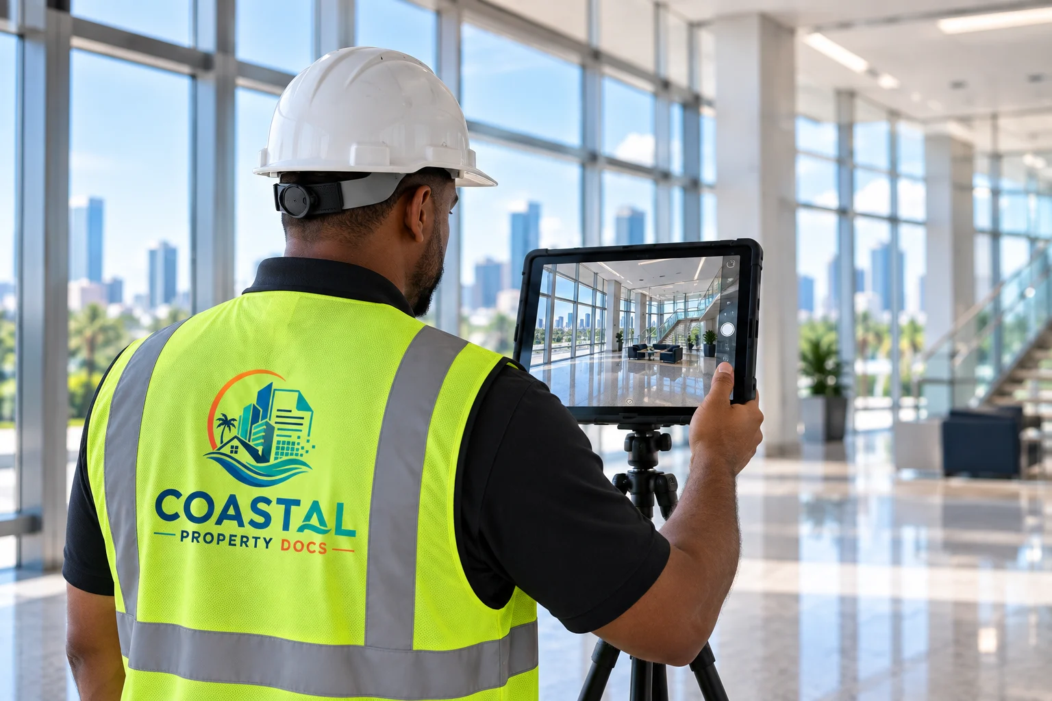
Existing conditions documentation creates a visual record of a property's current state before work, ownership, occupancy, or conditions change.
Instead of relying only on old plans, scattered photographs, or repeated site visits, project teams can work from a connected visual reference of the property as it existed at the time of capture.
Documentation scope can be tailored around the property, project, and the information your team needs preserved.
Rooms, corridors, common areas, fixtures, finishes, and visible conditions.
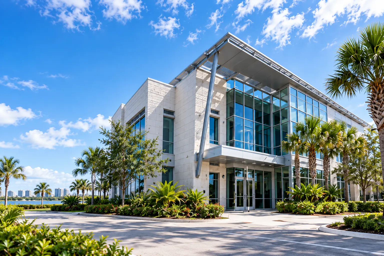
Accessible building exteriors, entrances, elevations, and surrounding features.
Preserve how rooms, circulation paths, and included spaces connect.
Capture accessible mechanical, electrical, plumbing, and other visible components.
Add floor-plan deliverables where appropriate for the project scope.
Create a useful digital reference for renovation, planning, operations, or asset management.
A straightforward process designed around your property and project needs.
Tell us about the property, project goals, required areas, and desired deliverables.
The included spaces are systematically documented on site using our digital capture workflow.
Captured information is processed into organized visual and spatial documentation.
Authorized stakeholders can review and reference the property record remotely.
Explore this interactive example to see how a digital twin can preserve the appearance, layout, and spatial context of an existing property in one connected environment.
View Sample Model →Revisit documented spaces remotely.
See how rooms and spaces relate to one another.
Revisit documented property features later.
Give authorized stakeholders a common visual reference.
It is a visual and spatial record of a building or property as it exists at a specific point in time. The documentation can support planning, renovation, construction, property management, and other workflows.
Residential, multifamily, office, retail, hospitality, industrial, institutional, and other safely accessible properties can be considered.
Yes. Floor-plan and spatial deliverables can be included depending on the property, project scope, and selected service package.
Digital property records can support authorized remote review and sharing depending on the project.
Yes. Documenting existing conditions before major work begins creates a useful record of the property before demolition, renovation, or reconstruction changes it.
No. Coastal Property Docs provides visual and spatial documentation. Our services do not replace architectural, engineering, surveying, inspection, or other licensed professional services when those are required.
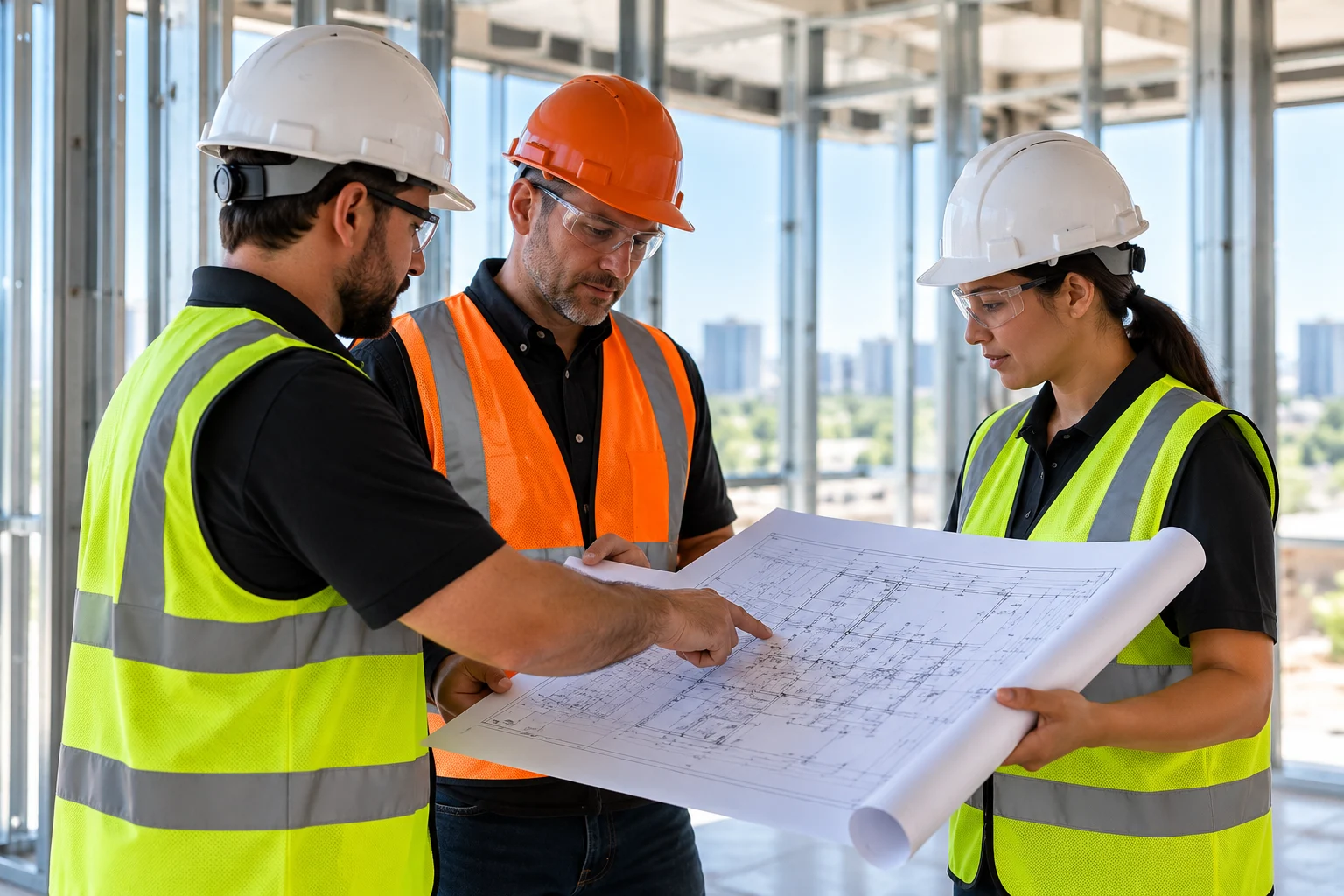 Architects & Engineers
Gain visual context for planning, renovation, and design coordination.
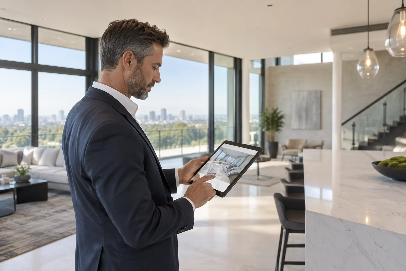
 Owners & Developers
Maintain a clearer record for asset planning and future projects.
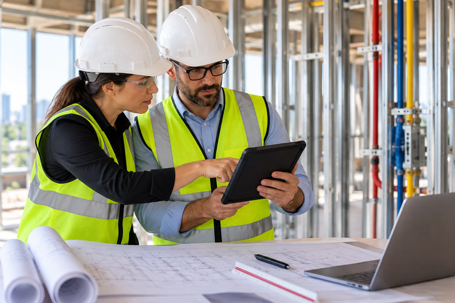 General Contractors
Improve coordination and reduce uncertainty before project work begins.
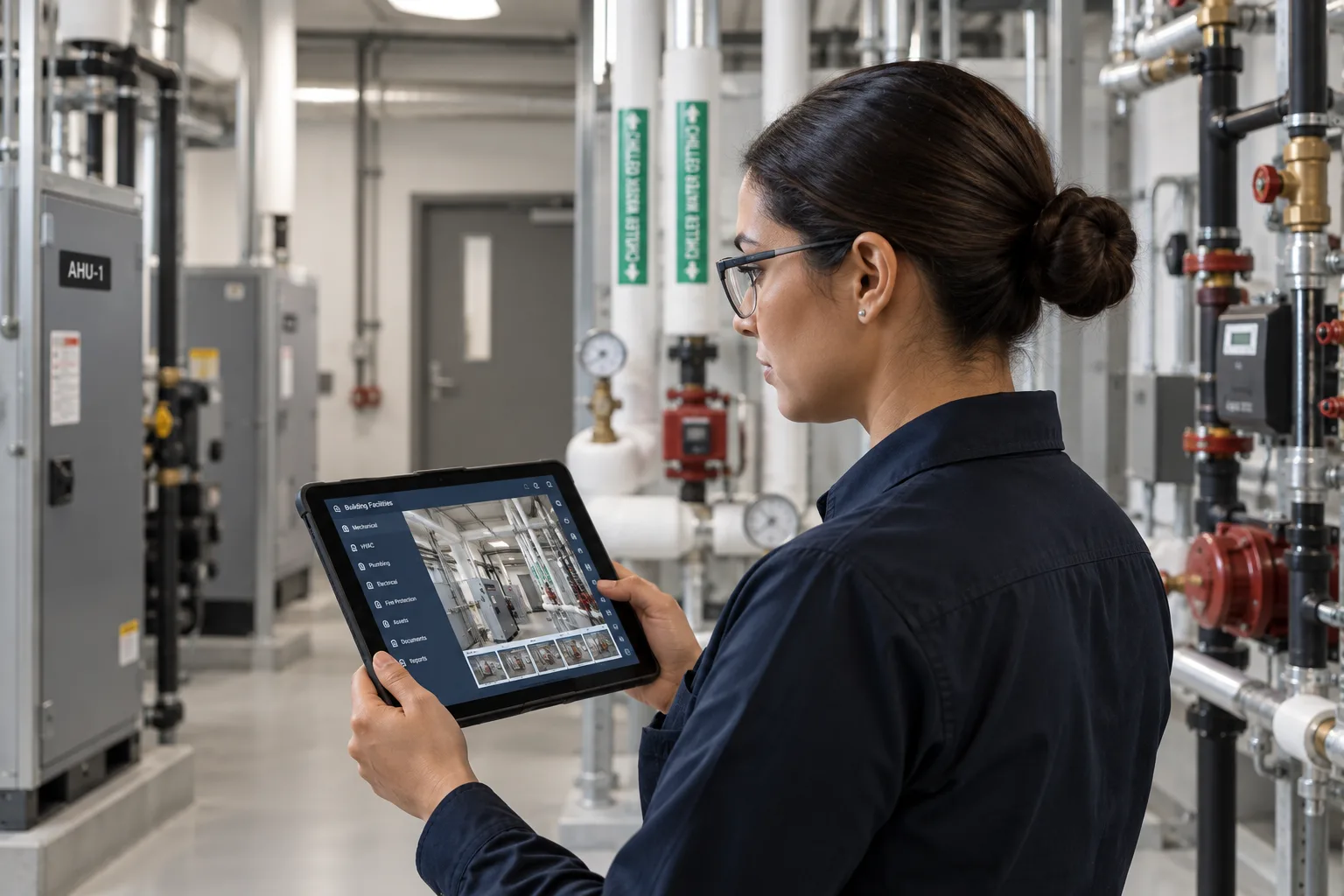
 Facility Managers
Maintain useful visual context for maintenance and ongoing operations.
Tell us about your property and project goals. We'll help define the right capture scope and deliverables for a clear, usable existing-conditions record.