Coastal Property Docs creates a visual and spatial record of fire-, smoke-, and soot-affected properties before cleanup, contents removal, demolition, deodorization, and reconstruction materially alter the site.
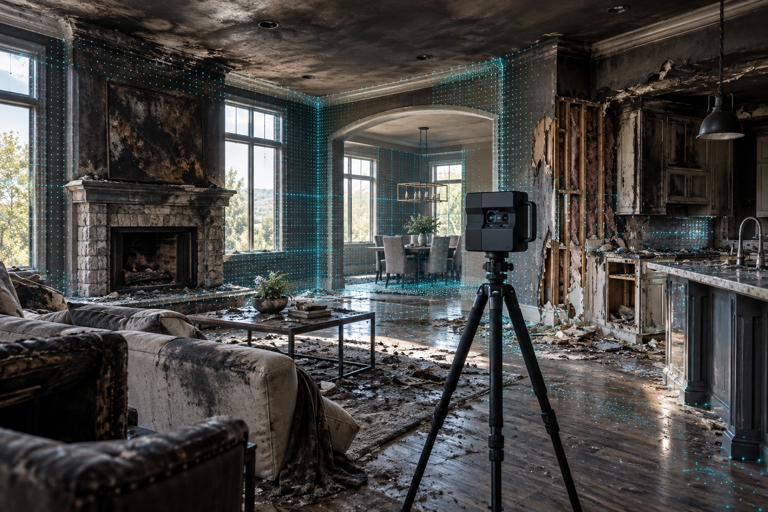
Debris is removed. Damaged finishes are stripped. Contents are relocated. Soot cleaning begins. Walls and ceilings are opened. Odor remediation starts.
Those steps are necessary, but they also change what can still be seen and reviewed at the property.
Capturing the site before substantial cleanup or demolition creates a visual record of the property at that point in time.
A connected property capture can preserve direct fire damage, smoke- and soot-affected areas, adjacent rooms, contents, and spatial relationships before they change.
Fire-loss documentation can capture both the visibly burned area and the broader conditions surrounding the loss.
Preserve visibly burned, charred, heat-damaged, or destroyed finishes and materials.
Document visible staining, residue, and affected surfaces beyond the immediate burn area.
Preserve room-to-room context and the relationship between damaged and adjacent spaces.
Capture visible conditions affecting ceilings, walls, trim, cabinets, flooring, and interior finishes.
Preserve visual context around visible contents located within affected areas.
Document nearby spaces where smoke, soot, or related visible conditions may extend beyond the primary fire area.
A complete visual record may need to extend beyond the part of the property where flames were present.
Direct fire exposure may create visible physical damage to building materials, finishes, contents, and assemblies.
Smoke and soot can create visible conditions in rooms and areas that were not directly burned.
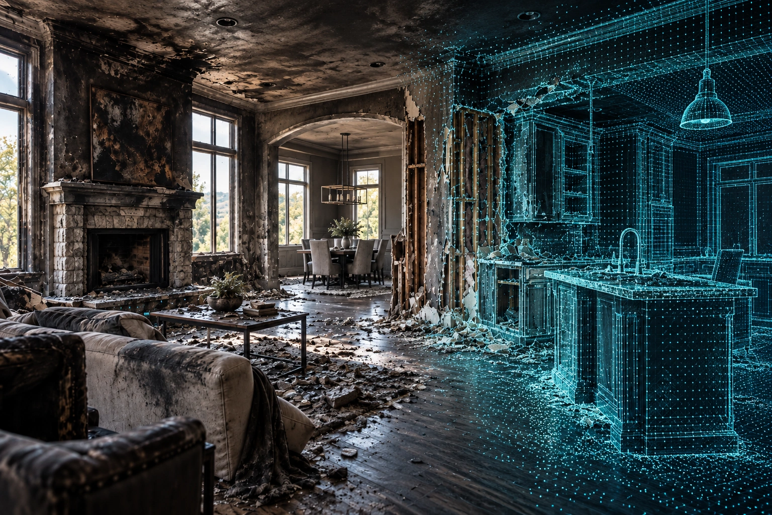
Fire restoration can quickly change the physical property. Burned materials are removed, ceilings are opened, damaged cabinetry is discarded, and affected finishes are cleaned or replaced.
A digital capture preserves how the damaged areas related to surrounding rooms before those physical changes occurred.
A connected digital record provides context that can be difficult to reconstruct from individual photographs alone.
Capture visible fire, smoke, and soot conditions before cleaning materially changes the site.
Preserve the relationship between directly burned spaces and surrounding rooms.
Revisit the documented property without requiring another physical walkthrough.
Use the captured property as an additional visual reference after damaged materials are removed.
Give authorized contractors, owners, adjusters, and stakeholders a shared visual reference.
Answer many later property questions by returning to the digital record.
Move through the model and see how a digital twin preserves spatial context across rooms and property conditions.
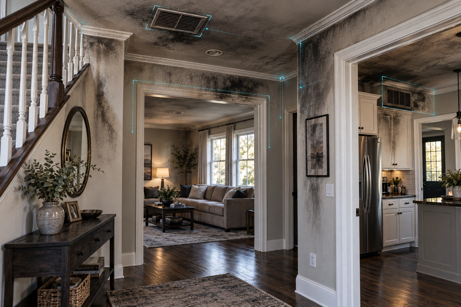
Smoke and soot can leave visible conditions across nearby rooms, hallways, ceilings, walls, vents, cabinetry, and furnishings even when those areas were not directly exposed to flames.
Documenting those areas can help preserve the broader visual context of the property before cleaning and deodorization begin.
The package can be tailored around the property, stage of restoration, and intended use.
Navigate the documented loss site remotely.
Supporting still imagery of documented conditions.
Property layouts when appropriate to scope.
Spatial information for appropriate workflows.
Additional documentation after cleanup or reconstruction.
A digital loss-site record can support multiple stakeholders throughout cleanup, restoration, and reconstruction.
Preserve pre-cleanup and changing property conditions.
Maintain a connected visual reference as damaged materials are removed.
Preserve a clearer visual record of affected property areas.
Document fire and smoke losses across residential and commercial properties.
Review documented property conditions remotely when access is provided.
Revisit captured conditions after demolition has changed the site.
Fire-loss projects can change rapidly once debris removal, cleaning, demolition, and contents handling begin. If the property is moving quickly into cleanup or restoration, identify the project as urgent so we can evaluate timing.
On the Get a Quote form, choose Emergency / ASAP when asked when you need the documentation.
Capture begins only after the property is safe and approved for access.
Share the property, affected areas, current cleanup status, and restoration timeline.
The property must be cleared and safe for entry before documentation begins.
We systematically document the included damaged and adjacent areas.
You receive the digital twin and supporting deliverables included in scope.
Common questions about documenting fire- and smoke-affected properties.
Potentially, yes. The property must first be structurally safe, accessible, and cleared for entry by the appropriate responsible parties.
Yes. Coastal Property Docs does not enter properties that have not been determined safe for access.
Yes. The project scope can include adjacent rooms and areas where visible smoke or soot conditions are present.
Documentation can still preserve the property's current condition, even if some cleanup or demolition has already occurred.
Yes. Follow-up captures can document exposed conditions, restoration progress, or completed reconstruction.
Digital twins can support authorized remote review and sharing. Access arrangements can be discussed based on the project.
Not necessarily. Digital documentation can complement standard photographs and other project records by preserving spatial context.
Tell us about the property, affected areas, current cleanup status, and project timing. If conditions are changing quickly, mark the request as urgent so we can evaluate scheduling.