Coastal Property Docs captures buildings and interior spaces in 3D, creating an interactive digital representation that allows owners, contractors, property managers, and other stakeholders to revisit and understand the property remotely.
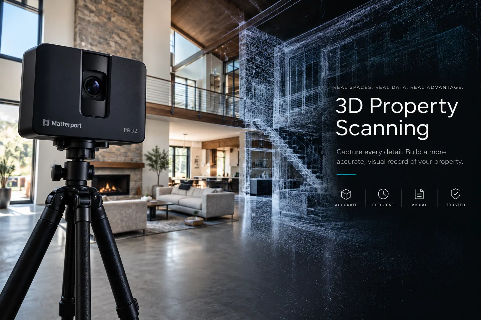
Traditional property photography records individual views. 3D property scanning goes further by capturing the relationship between those spaces so the building can be experienced as a connected environment.
The result is an interactive digital twin that can be opened on a computer, tablet, or phone and navigated much like an in-person walkthrough.
Depending on the project, additional deliverables can include floor plans, measurements, still imagery, and other property documentation.
Instead of trying to understand a property from dozens or hundreds of disconnected photographs, the digital twin keeps the spatial context intact—where rooms are, how areas connect, and what the property looked like when it was captured.
The value isn't simply having a 3D model. It's having a property that can be revisited, reviewed, and shared after the original site visit is over.
Return to rooms and spaces without scheduling another physical site visit.
Create a visual record before demolition, construction, repairs, turnover, or other changes occur.
Give remote team members a much clearer understanding of the physical property.
See how rooms, corridors, equipment, and spaces connect instead of relying on isolated photos.
Use the captured property as a reference when planning work, estimating, coordinating, or reviewing conditions.
Add an organized spatial reference to the photos, plans, reports, and files associated with the property.
Click inside the model, move through the property, look around the rooms, and experience how a captured property can be reviewed remotely.
The exact package depends on the property and intended use. Your project can include one or several documentation outputs.
Navigate the property virtually from a browser-compatible device.
Property layouts can be added when required by the project.
Spatial information and measurements can support appropriate workflows.
Still imagery can supplement the interactive property record.
3D scanning is useful anywhere the condition, layout, or visual record of a physical property needs to be understood later or shared with people who are not on site.
Document conditions before mitigation and reconstruction.
Capture existing conditions, progress, and concealed conditions.
Maintain visual records for operations, maintenance, and turnover.
Give owners and stakeholders remote access to physical spaces.
Preserve a visual record before a potential property loss.
Document rooms, improvements, conditions, and home contents.
We handle the technical side. You provide access to the property and tell us what you need documented.
Tell us about the property, size, intended use, timing, and required deliverables.
We systematically scan the property and document the areas included in the project.
Captured spatial information is processed into the interactive property environment.
You receive the digital property record and any additional deliverables included in your project.
Coastal Property Docs approaches scanning as property documentation—not simply as virtual-tour photography. The goal is to create a visual resource that supports the actual reason the property is being captured.
A few of the most common questions about digital property capture.
Scan time depends on the property's size, layout, accessibility, complexity, and the scope of documentation required. We'll estimate the expected site time after reviewing your project.
No. Occupied and furnished properties can be captured. Preparation requirements depend on the purpose of the scan and what needs to be visible in the final documentation.
Digital twins are well suited to remote review and sharing. Access arrangements can be discussed based on the project and intended audience.
Yes. Floor plans, measurements, still imagery, and other deliverables can be included depending on the project scope.
No. 3D property scanning can be used for residential, multifamily, commercial, hospitality, construction, restoration, and many other property types.
Tell us about the property, its size, and what you're trying to document. We'll help determine the right scanning scope and deliverables.